

Active recultivation areas
Forestry recultivation: currently approx. 900ha
Agricultural recultivation: currently approx. 3,400ha
History
The recultivated areas of the Garzweiler and Frimmersdorf opencast mines are generally considered as one today. There were two active pits in the Frimmersdorf region in 1950 – the Neurath pit and the Heck pit. The Gürather Höhe outside dump belongs to the Neurath pit. When the pits met in 1960, they were carried on as the Frimmersdorf Süd opencast mine. The Frimmersdorf West opencast mine was developed west of Gindorf at the same time. The Vollrather and Neurather Höhe outside dumps date back to that time. Combining Frimmersdorf Süd and West created the Garzweiler opencast mine in 1983.
Subareas

Several distinct landscape elements that can be differentiated as subareas were created in the former Garzweiler opencast mining area in the course of recultivation.
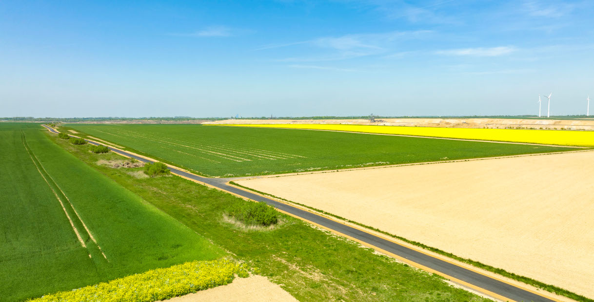
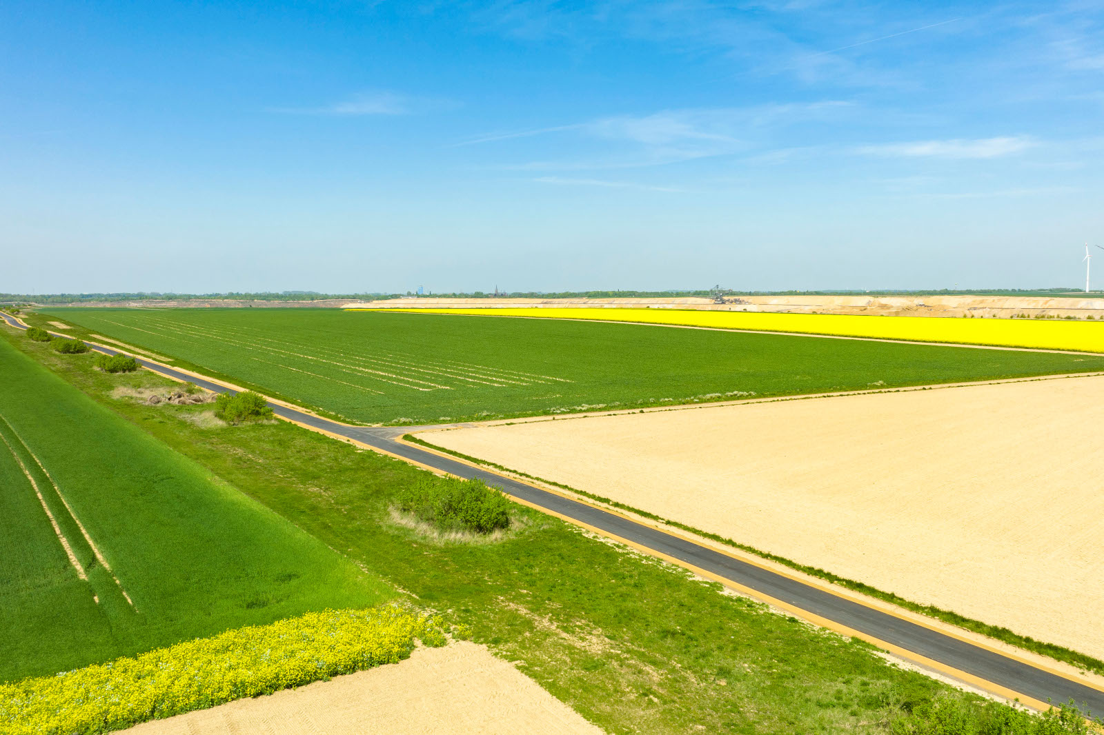
Among these is the new Erftaue, mainly consisting of meadows and forests, a green band of reforested areas extending in the east of the former lignite area from Bedburg in the south to Frimmersdorf in the north along the Erft and Mühlenerft. West of the Erftaue, there is an agricultural plain at the level of the original landscape. A golf course was developed here in the north and an industrial area to the south-east.

The Kasterer See is located in the south on the outskirts of Kaster, embedded in a forest area. The Kasterer See is fed by the Mühlenerft, which flows out of the Erft from Bedburg to Kaster in the old riverbed and from there in a new bed, through the recultivated area in a wide arc and then back into the Erft. Various uses were realised on the Kasterer See. While the south-west shore is used for local recreation for the town of Bedburg, the eastern shore is largely inaccessible and reserved for nature. The lake is next to a piece of forest where the endangered elm was planted in larger numbers as an especially typical species of the hardwood floodplain forests. Since the lake was also approved for fishing, part of the eastern shore was made inaccessible to fish with a small rock filling. Amphibians find a refuge here without the risk of being eaten by fish.
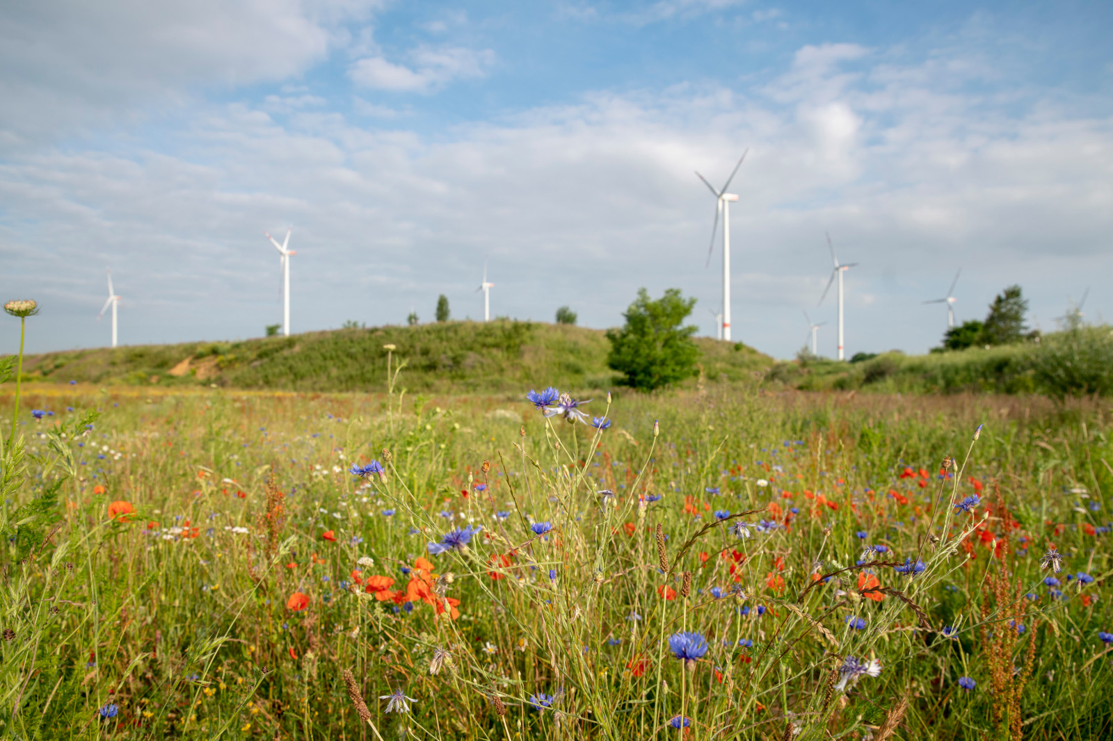
Further west, forested slopes lead to the Kasterer Höhe, an area used mainly for agriculture. The Königshovener Höhe is adjacent to the Kasterer Höhe to the north. An ash dump and former gravel wash known as the RBS-Becken that was converted into a valuable habitat are located here in the eastern section. The Königshovener Höhe is also a mound used for agriculture with recultivated forests on its slopes. Special highlights are the much more natural surface and relief design of the slopes with recultivated forests compared to the older dumps, and the interruption of the agricultural plateaus by the near-natural design of the Königshovener Mulde. Often very low-loess forestry gravel mixtures were dumped here and also on the Neurather Höhe, permitting the development of dry, warm sites suitable for orchids, especially on south-west exposures. Slopes with almost pure loess but also very lean, sandy soils are found on the Vollrather Höhe.
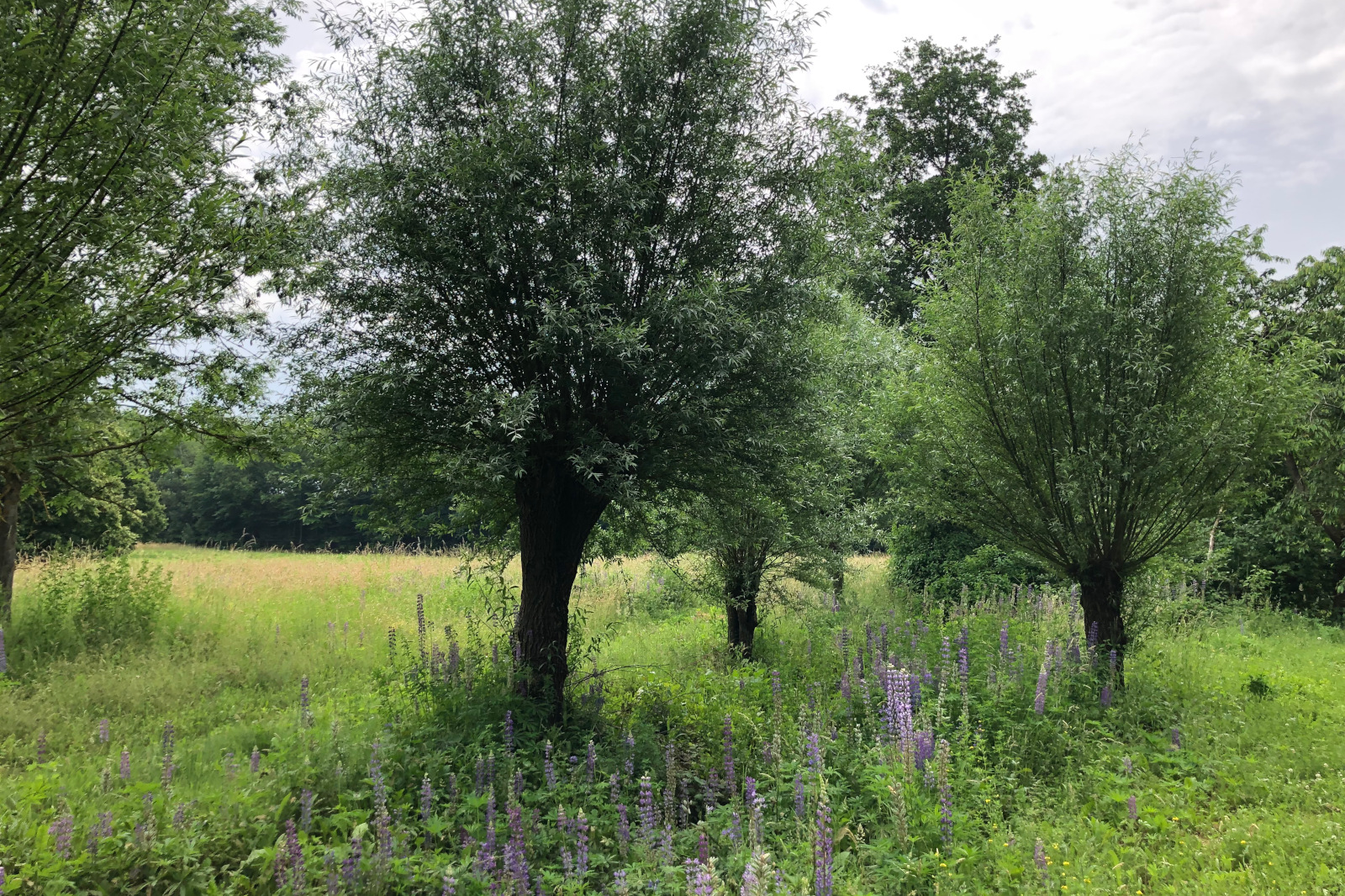
The much older Gustorfer Höhe and the Elsbachtal are adjacent to the north. The depression of the Elsbach, up to 200m in width, forms the centre of the newly created recreational area. It connects to the natural Elsbach in the east. Rainwater from the adjacent fields flows into and is discharged through the valley. Thus the depression’s streambed is dry except after particularly heavy rainfalls – just like the former Elsbach and many other watercourses in the Börde region. The watercourse bordered by bank slopes of varying steepness meanders through the open bottom of the valley. Alder, ash and the pollard willows typical for the Lower Rhine dot the meandering course. Shallow depressions were created in several places where water can seep in laterally from the ditch or rainwater can accumulate. Such wet-dry sites are of special ecological importance because they are rare in the landscape and very quickly settled by animal and plant species adapted to them.

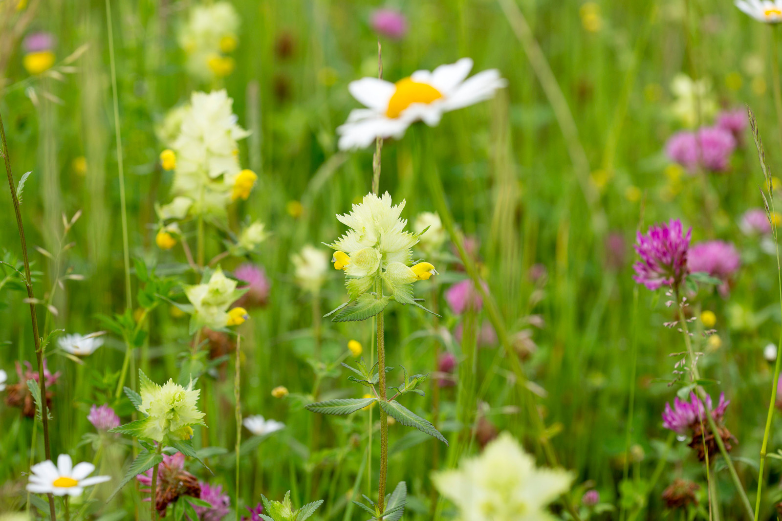
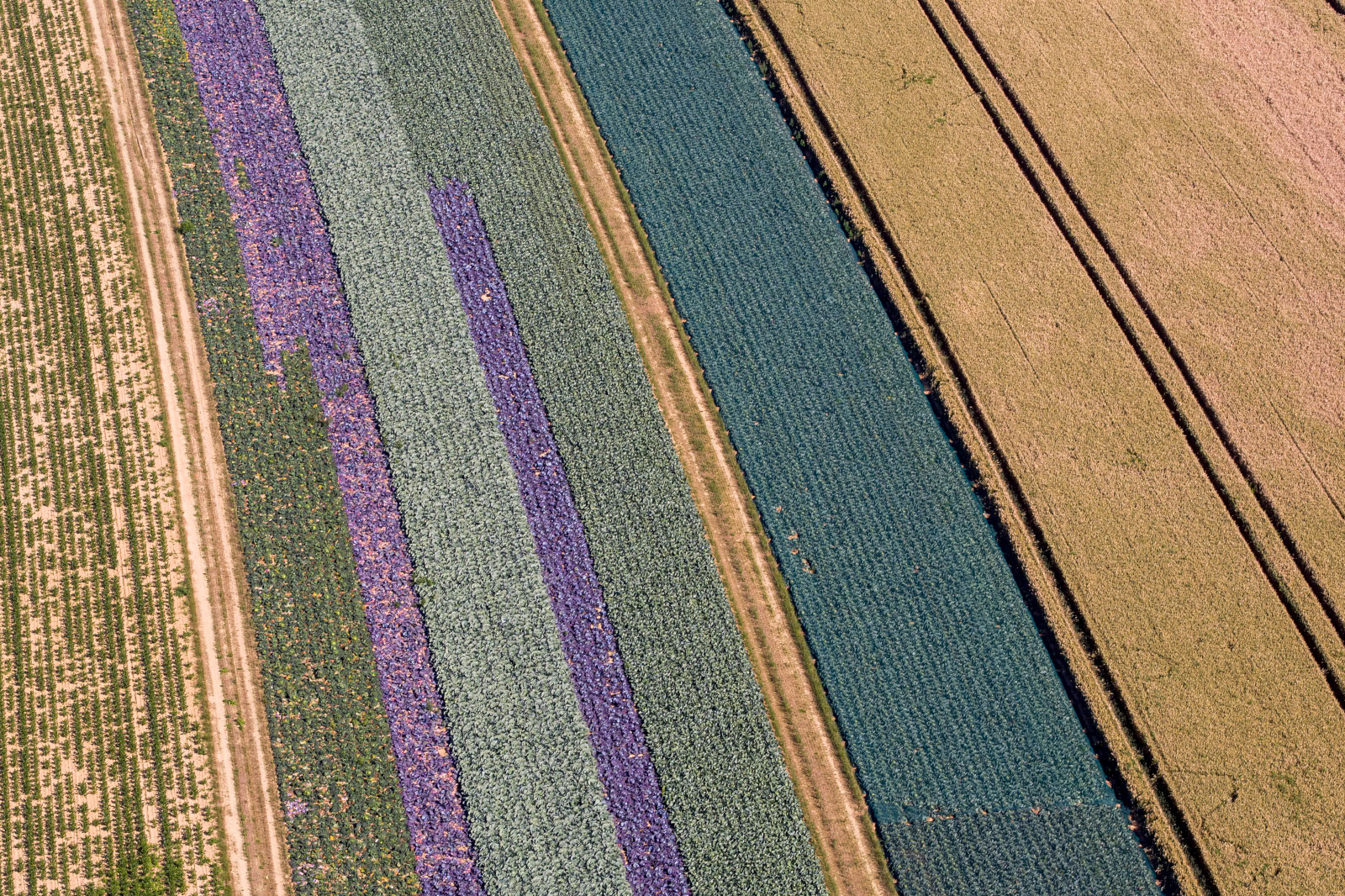
Older and newer agricultural recultivated areas, the latter still under initial cultivation with alfalfa, are located on the plateau of the motorway section, demarcated by the abandoned pit to the east. In keeping with the previous use as farmland, agricultural areas are primarily being created in Garzweiler. As a rule, these are however complemented by landscape design measures to promote open land. Flower strips, hedges, rock piles, meadow orchards and rows of pollarded trees are created, for example. Fallow land planted with alfalfa, which is typical for agricultural recultivation, also plays an important role as a source of food and breeding habitat for various species.
Special ecological features
More than 800 plant species and over 1200 animal species have been recorded in the Garzweiler recultivated area to date, and a systematic study of some animal groups is still pending. Many of these species are endangered and on the Red List.
Some of the rare and endangered animal and plant species are:
Birds: Skylark, corn bunting, partridge, quail, wheatear, lapwing, meadow pipit, tree pipit, wood lark, marsh harrier, Montagu’s harrier, peregrine falcon, Eurasian hobby, short-eared owl, red-backed shrike, turtle dove, stonechat, great reed warbler, bee-eater, little ringed plover
Mammals: Brown hare, garden dormouse, hazel dormouse
Amphibians: Yellow bellied toad, Natterjack toad, green toad
Reptiles: Sand lizard
Wild bees: Large scabious mining bee, giant furrow bee, armed nomad bee
Grasshoppers: Blue-winged grasshopper
Butterflies: Short-tailed blue, pale clouded yellow
Dragonflies: Scarce blue-tailed damselfly, green hawker, hairy dragonfly
Orchids: 20 different native species
See our lists of species for more.


Outlook for pending recultivation
Future recultivation measures include creating the Jüchener Wäldchen, extending the Elsbachtal and designing the Kömtal. A large section of the Garzweiler opencast mine will remain as a pit lake. It will be filled via a pipeline from the Rhine river, which is going to take about 40 years. A water surface area of 23 square kilometres and a volume of 2,000 million cubic metres of water were originally planned. A guideline decision was issued in 2016, scaling down the opencast mine and preserving some settlements. Therefore, details regarding the design of the lake will only be finalised with the approval of the new lignite plan.