

Active recultivation areas
Forestry recultivation: currently approx. 1500ha (incl. approx. 100ha of special areas)
Agricultural recultivation: currently approx. 15ha
History
The Hambach opencast mine is located in the region of what are known as the ‘Bürgewälder’. Last remnants of these formerly extensive lowland forests were only preserved because the loess in those areas only extends to a depth of around 0.5 to 1.5m. Soils characterised by stagnant moisture developed at these sites. Agriculture is practically impossible in such soils. That is why the forest was not cleared here in the early Middle Ages, in contrast to the remaining loess landscapes. This special site feature is definitive for the recultivated area: Since forestry was the primary use before opencast mining, the restoration of forest areas is the recultivation objective here.
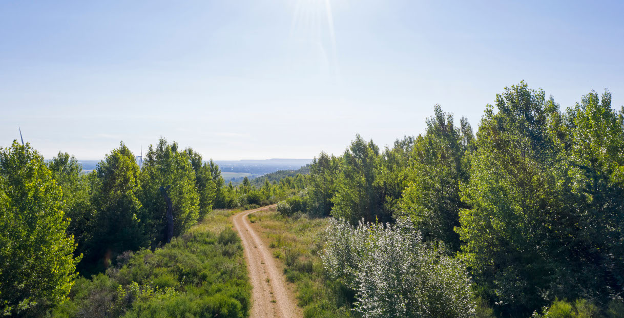
Approximately 1.1 billion cubic metres of overburden were dumped here on former farmland as an overburden dump between 1978 and 1990, creating Sophienhöhe heights. It rises to about 300 metres above sea level east of Jülich. This makes it some 200 metres higher than the flat Börde landscape. Recultivation of the outside dump was completed in 1990 and the overburden is no longer being dumped on farmland but on the former mining site. Thus the Sophienhöhe continues to grow as an elevated inside dump on the former mining area of the Hambach opencast mine.
The development of landscape design in recent decades is readily traceable on the Sophienhöhe. The oldest dumps in the mining area were designed as mesa with reforested slopes and level arable land on the plateau. These dumps are strictly geometrical to keep the largest dump volume stable in the smallest possible area. Agricultural use on the level plateau was also intended on the Sophienhöhe in initial planning. But since large areas of the Bürge forests are being cleared for the Hambach opencast mine, this plan was abandoned and the Sophienhöhe as a whole is being recultivated as a forest landscape with an irregular, near-natural surface.

Sophienhöhe heights
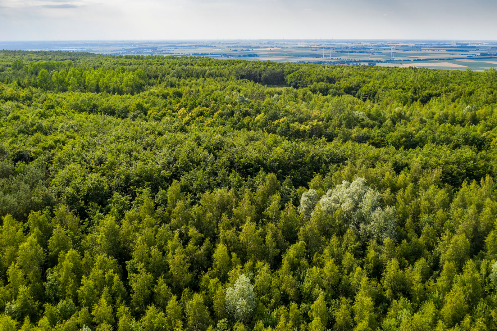
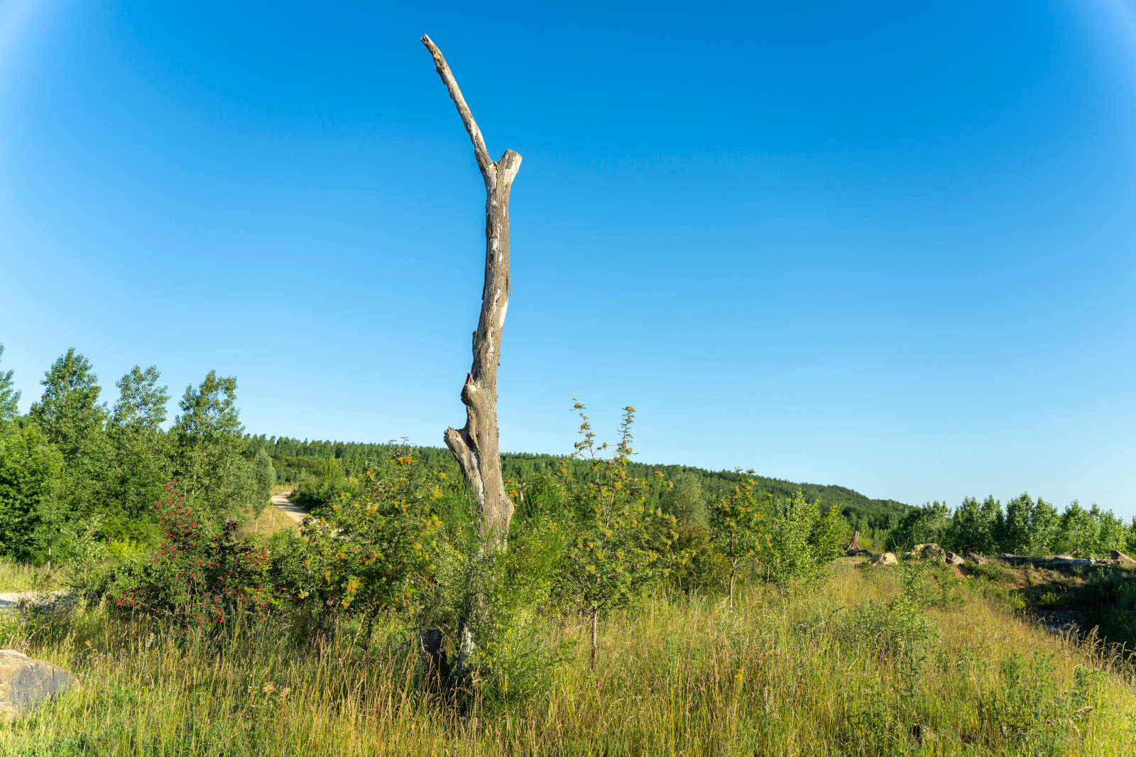
Well over 10 million trees have been planted to date on the Sophienhöhe, of which more than 90 per cent is forested, mainly deciduous trees such as beech, oak and wild fruit trees but also conifers. Limiting the proportion of non-native trees to a maximum of 10 per cent is one of the objectives. New plants in the hundreds of thousands are added every year. In addition to planting trees from nurseries, tree seeds are harvested in the existing forests of the pre-mining area and spread to maintain the genetic potential of the native old-growth forests. Ecologically valuable standing deadwood has also been integrated in many places. The mining area’s foresters strive to manage the forest as naturally and sustainably as possible and to maintain ecological diversity.
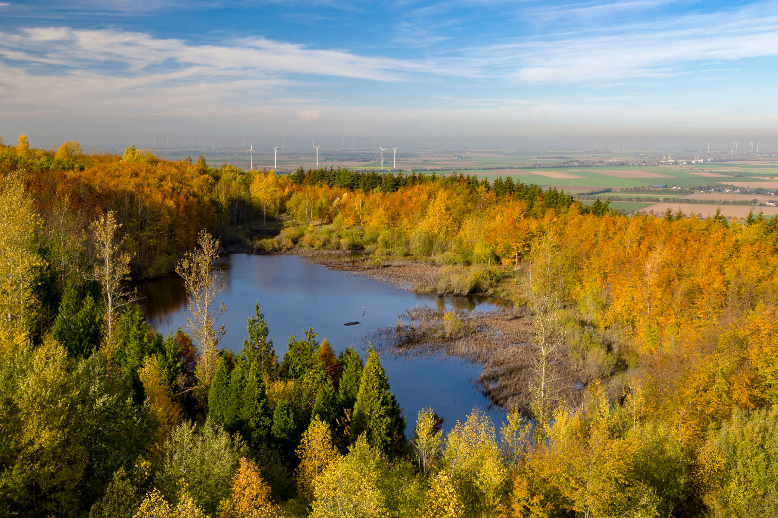
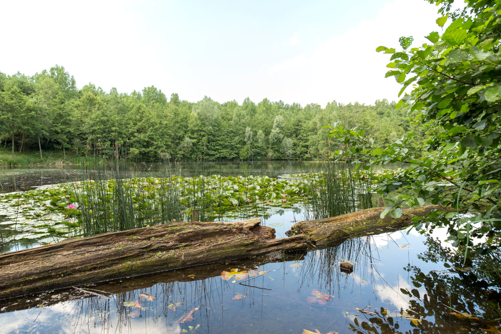
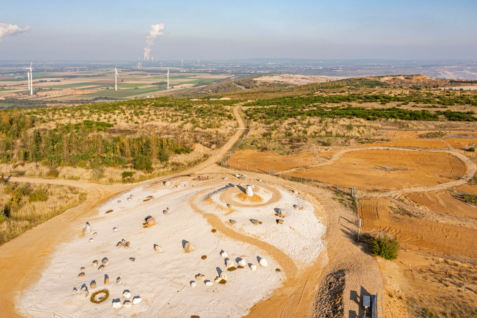
Numerous special sites were established between the forest areas, including the ‘Höller Horn’, ‘Goldene Aue’, ‘Silikatmagerrasen’ and ‘Inselsee’. The large ‘Eisvogelsee’ and ‘Bergmannsruh’ rainwater retention basins are also of high ecological importance aside from their technical function of collecting surface water. All of these special sites distinguish themselves as habitats for rare species and biodiversity hot spots.
Some parts of the Sophienhöhe – already 70ha of forest at this time – are designated as areas under the protection of natural processes where forests can develop without direct human intervention. Designating about 50ha of additional areas under the protection of natural processes is planned.
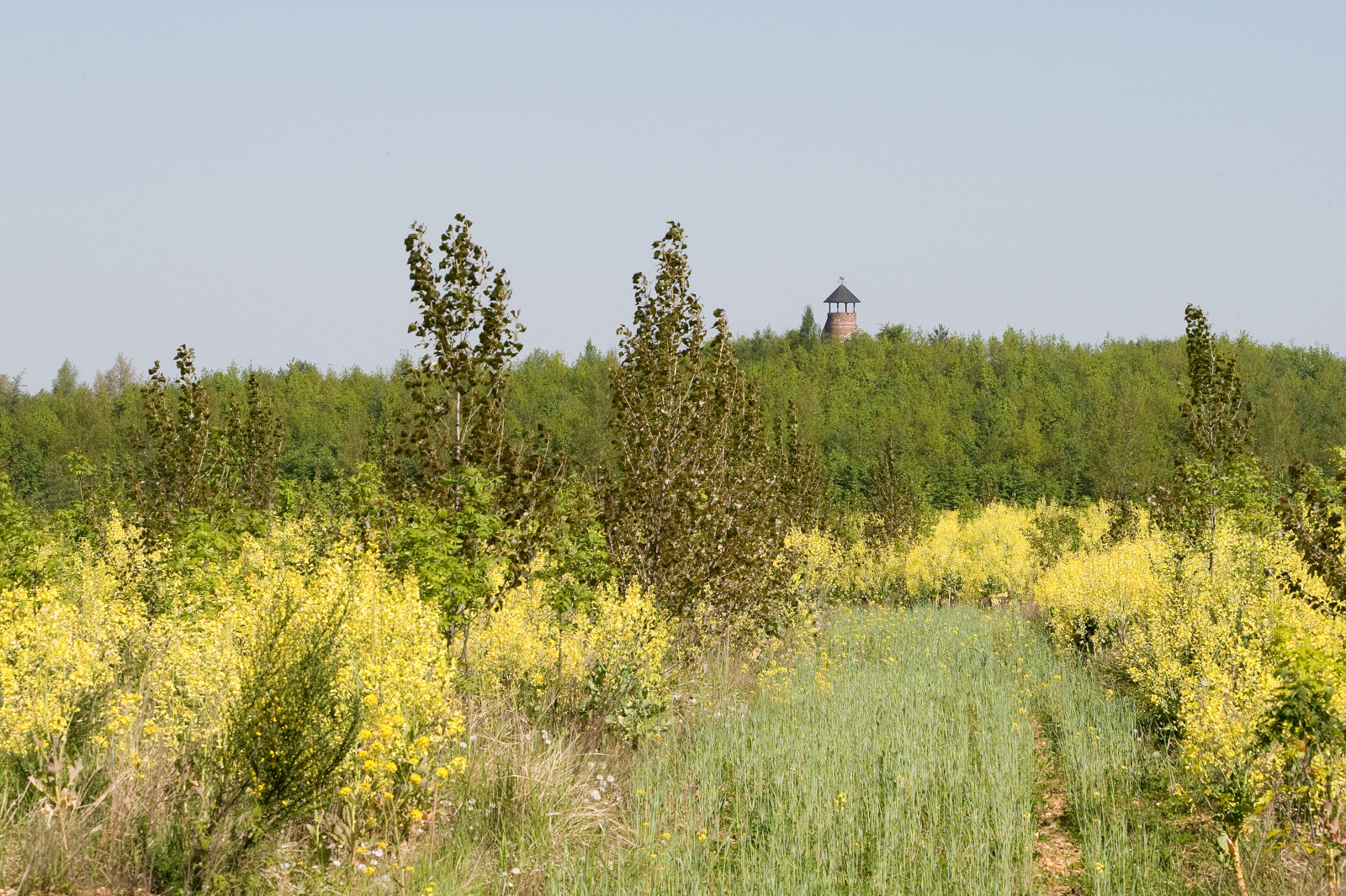
A steadily growing network of trails that has now reached a length of more than 120km is provided for hikers and cyclists. The ‘Römerturm’, ‘Jülicher Kopf’, ‘Steinkompass’ and ‘Lebensbaumkreis’ as well as the ‘kleine Lausitz’ are just some of the attractive destinations to experience the recultivated area. A weather radar station with a height of 34 metres was erected on Sophienhöhe heights in 2009. It allows the Jülich Research Centre to determine the amount, distribution and type of precipitation in a radius of more than 60km.
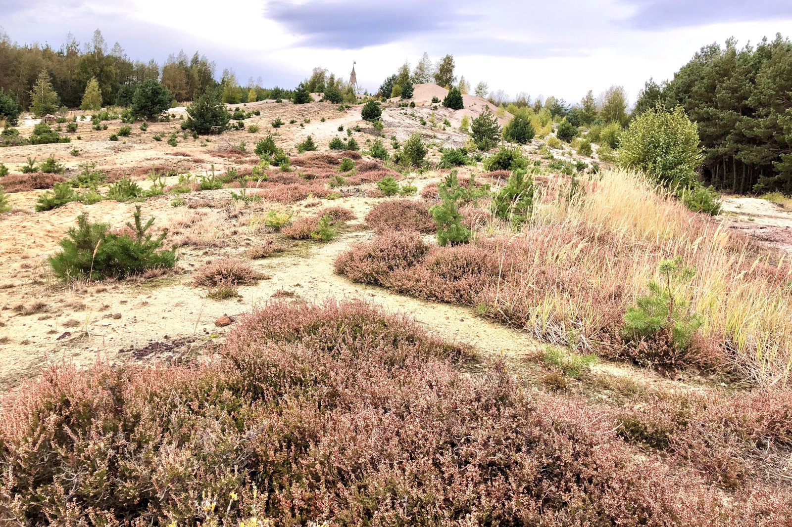
Special ecological features
More than 1000 plant and fungus species and over 1800 animal species have been recorded in the Hambach recultivated area to date, and a systematic study of some animal groups is still pending. Many of these species are endangered and on the Red List.
Some of the rare and endangered animal and plant species are:
Birds: Wheatear, tree pipit, wood lark, Eurasian hobby, red-backed shrike, turtle dove, stonechat, little ringed plover, willow warbler, grosbeak, black woodpecker, wryneck, lesser spotted woodpecker, middle-spotted woodpecker, little grebe, black stork, common sandpiper, cuckoo, kingfisher, skylark
Mammals: Hazel dormouse, European mouflon, Bechstein’s bat, greater mouse-eared bat
Amphibians: Agile frog, Natterjack toad, green toad
Reptiles: Sand lizard, common lizard, smooth snake
Crustaceans: European crayfish
Wild bees: Grey-banded mining bee, common colletes, Dryudella pinguis
Grasshoppers: Blue-winged grasshopper
Butterflies: Mallow skipper, chequered skipper, pale clouded yellow, swallowtail, small blue
Dragonflies: Scarce blue-tailed damselfly, green hawker, hairy dragonfly
Vegetation: Wild service tree, medlar, narcissus, lily of the valley, common frogbit, fringed water-lily, sheep’s-bit, wild pansy
See our lists of species for more.


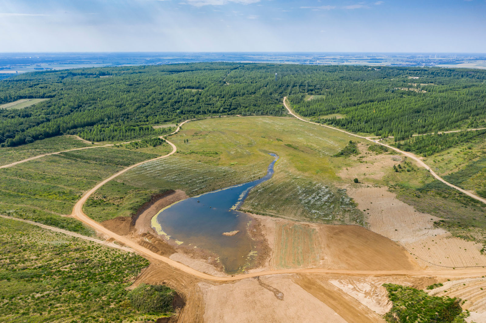
Outlook for pending recultivation
A large plateau with agricultural areas will be created towards Elsdorf in the coming years. The Goldene Aue will also be enlarged and new special sites towards the lakeshore are going to be created in addition to forestry recultivation.
A large section of the Hambach opencast mine will remain as a pit lake. It will have a surface area of around 36 square kilometres and a depth of 265 metres at its deepest point. The lake will be filled via a pipeline from the Rhine river, which is going to take about 40 years.